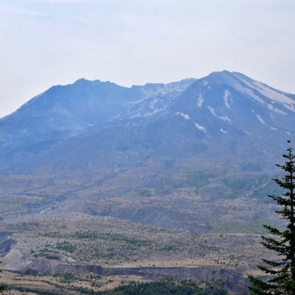
🧵Alright, let's take a long, threaded trip around the area through the camera's eye of USGS scientists on July 2, 1980. We'll start at the center of it all—Mount St. Helens and Spirit Lake.
With clearer conditions, the devastation and change at the mountain's base are evident.
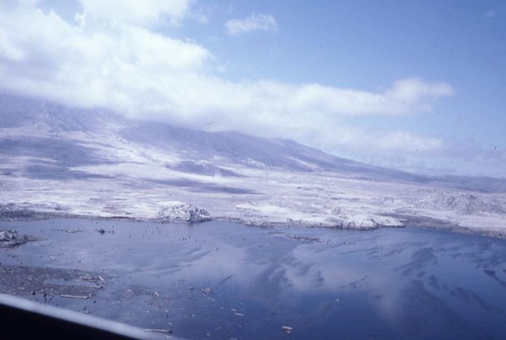
Heading west, we stop at the ridge between South Coldwater Creek and the growing Coldwater Lake, ~7 miles north of the volcano.
This is near where ham radio operator Gerry Martin broadcasted his last words on May 18. Nothing remains of his camp.
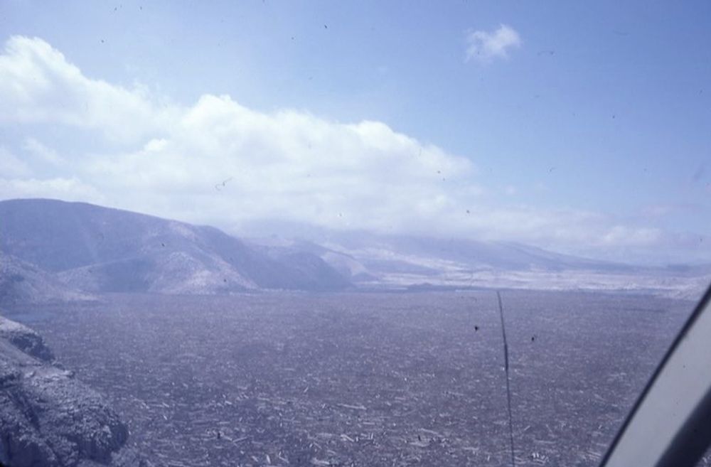
Geologists examine logging equipment damaged in the blast. Heavy machinery was tossed and twisted around in the lateral blast like Tonka toys.
Imagine the forces at work here.
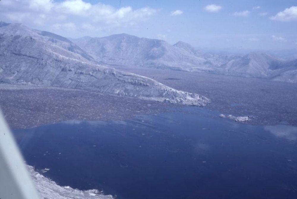
Heading downstream, we come to what remains of Camp Baker, Weyerhaeuser's closest logging camp to the mountain — 17 miles West.
A fair amount of cleanup has occurred, but the property would never reopen for business post-May 18.
Carrying Highway 504, the Al Raught Bridge crossed the North Fork Toutle River west of Camp Baker, some 20 miles from St. Helens. The massive lahar on May 18 swept it a quarter mile downstream.
Now, it sits buried in mud along the river.
And further down the Toutle and Cowlitz River valleys, the damage to other bridges, facilities like the Green River Hatchery, farmlands, and homes marks the landscape.
We end our journey through the camera lens with USGS geologists at the Columbia. Dredging operations remove sediment deposited by lahars from St. Helens here and along the Cowlitz River.
Hope you enjoyed the trip! Wullseeyas tomorrow. I really enjoy doing this, folks.