Bluesky web client
Login
2024
@subium.com
v1.0.0-α.14
·
Report bug
·
Contact
Post
Vince Mpls
@vincempls.bsky.social
·
5 days
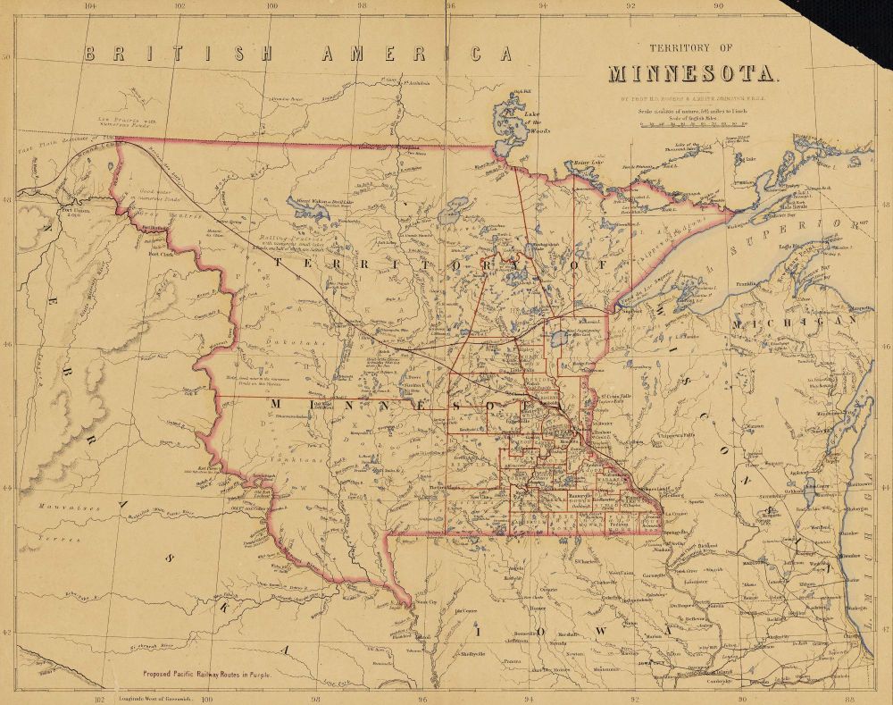
Mni Sóta Territory depicted in the 1857 Atlas of the United States. County lines in red, survey lines for the proposed Pacific Railway in purple. Map by HD Rogers & AK Johnston, London, via University of Minnesota Borchert Map Library
1
4
19