Northern Illinois University Meteorology alum | Star Wars geek | Xbox gamer | Customer Ops & in-house meteorologist for Molo Solutions | Sweet Home Chicago | Please ask to use any of my photos/video | Never Stop Chasing
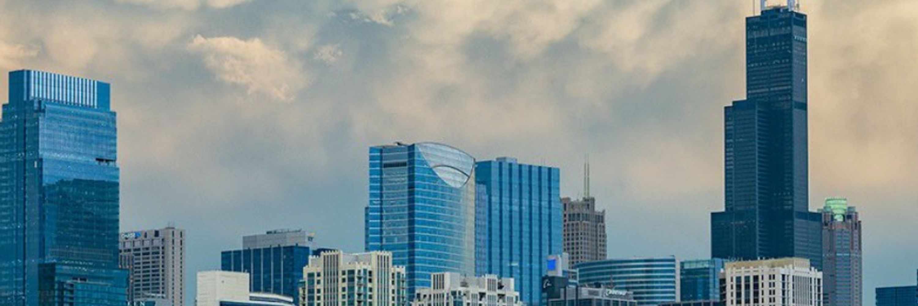
Severe thunderstorms are possible this afternoon/evening. Primary threats are damaging winds and very large hail, though a tornado cannot be ruled out. Higher chance for sig severe to our SW across the IRV. #ilwx#Chicago
Sig severe wx across the Midwest including the Chicago metro expected today/tonight. Our regions highest risk will be between 7pm-1am. Damaging winds in excess of 70 mph, large hail, and a few tornadoes are possible with odds increasing the further west you go.
An active period ahead in time for #EasterWeekend. Rain/t-storms tonight could contain some larger hailstones with more expected #Easter Sunday into early next week. Looking at more severe t-storms south of I-80 on Monday. #ilwx#Chicago
More rainy weather on the way as another system moves in Sunday night through Tuesday. This will likely add onto the already wet March we've had so far! #ilwx#Chicago
From summer to winter in 12-24 hrs! Severe t-storms are possible this evening with the record warmth, followed by a powerhouse cold front that will plummet temps 50-60 degrees in some spots. There's even a chance of snow on the backside!
#ilwx#Chicago
Record warmth for late Feb is setting the stage for severe t-storms tomorrow afternoon/evening. Large hail and a few tornadoes are the primary risks especially across EC IL into NW/northern IN and southern Lower MI.
A good early chase to knock the rust off! #ilwx#Chicago
Breezy and unseasonably mild conditions today with a marginal risk of severe t-storms possible. Main threat is gusty winds and small hail, however a tornado cannot be ruled out especially west of the Fox Valley. We remain mild Fri before cooling off this weekend. #ilwx#Chicago
Happy 13th anniversary to the GHD blizzard, the best storm I've ever witnessed.
Happy 9th anniversary to the Super Bowl blizzard (GHD 2), no I still don't know why Seattle didn't run to this day.
#ilwx#Chicago
For once, sun will peak out more often from the clouds after an overcast and drizzly Tuesday. Above average temps are expected nearing 50 into the weekend. #ilwx#Chicago
A wintry mix is expected to spread across the metro before changing to mostly freezing rain for many. Decent icing is possible over the next 24 hrs before we warm up Tues. Some hazardous travel is likely especially tonight. #ilwx#Chicago (1/2)
We manage to get above freezing Tues with on/off showers through much of the work week. A very dreary but "balmy" week considering where we've been! #ilwx#Chicago (2/2)
There is one more trial to complete before we get above freezing: freezing rain. Ahead of a dreary and wet week, freezing rain is looking likely Mon into very early Tues. This could cause havoc for parts of both the Mon PM/Tues AM commute. #ilwx#Chicago
One more frigid day before we finally begin to warm up. Another shot of arctic air is expected for the weekend with snow chances between Wed and Thurs night. #ilwx#Chicago
Bitter and dangerous cold will continue at least for a couple more days before a slight warm up on Wed. A reinforcing shot of arctic air comes in for the weekend along with snow chances. Some snow is possible tonight along/south of I-80. #ilwx#Chicago
Since the switchover from snow to rain occurred about mid-AM, 0.41" has fallen creating slop on the 3.5" of snow that fell earlier in Oak Lawn. The warm air is still hanging on as darkness approaches.
#ilwx#Chicago
Winter Storm Warnings are hoisted for much of the Chicago metro starting at 3am Fri, lasting through noon Sat. Winter Wx Advisories for the far southern sections & NW IN starting at 6pm Fri, lasting through noon Sat. #ilwx#inwx#Chicago (1/2)
Updates concerning our next storm for Fri-Sat AM. Precip is expected to start in the next 15-17 hrs as snow for much of the metro before the rain/snow line returns for parts of the area. This will effect both rush hr commutes tomorrow. #ilwx#Chicago
While snow begins the day for everyone, rain will mix in especially for areas near the lakefront and along/south of I-80. This may creep north to the I-88/290 corridor before retreating south late Fri as colder air begins to filter into the area. #ilwx#Chicago
Strong winds will lock in causing potential blizzard conditions late Fri and overnight along with a switch back to all snow for most of the area. Travel could be near impossible and not advised in parts of the area during this period. #ilwx#Chicago
Stay tuned for further refinements as we will have the rain/snow line to contend with much like on Tuesday. This'll affect snow accums. No matter what, much colder temps are expected after the storm for early next week as arctic air makes a true push into the US. #ilwx#Chicago
Winter Wx Advisories are back as the rain has pretty much switched to snow for most of the metro (still rain in NW Indiana). Expect a quick 1-3" and a very messy evening commute. #ilwx#inwx#Chicago
Winter Wx Advisory was dropped for a few counties except for northern Cook as much of the precip has switched to mostly rain with a few flakes mixing in. Gotta go north and west if you want a good snowstorm. #ilwx#Chicago
After a brief shot of snow Wed night, our focus switches to another potentially potent storm Friday followed by a blast of arctic air. Stay tuned for updates on this one as the week progresses. #ilwx#Chicago