Daniel Swain

Profile banner

Daniel Swain

@weatherwest.bsky.social

Climate scientist-communicator focused on extreme events like floods, droughts, & wildfires on a warming planet.
Reposted byAvatar Daniel Swain
Avatar
Weather and climate office hours by Weather West: Weekend edition. I'll discuss the ongoing prolonged and in some cases record-breaking heat across much of the West as well as unfolding wildfire situation. 3pm PT, Saturday 07/06/2024. #CAwx #CAfire www.youtube.com/live...#CAwx #CAfire www.youtube.com/live...
Weather and climate office hours by Weather West: 07/06/2024 - YouTubewww.youtube.com The latest in a recurring series of live, virtual, & interactive "office hours" hosted by Dr. Daniel Swain on various topics related to extreme weather and c...
Avatar
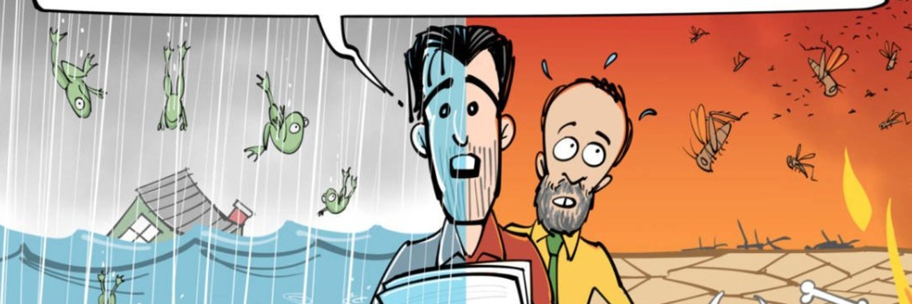
This *gesturing wildly and in every direction* is utterly exhausting.
Avatar
Many fires erupting across northern CAtoday amid Red Flag conditions at the beginning of what may become a historically severe/long heatwave. Most immediately threatening fire appears to be #ThompsonFire near Oroville. Mandatory evacs now for portions of Oroville proper. #CAwx
Avatar
Pop-up livestream: today (07/02/2024) @ 5:30pm PT to discuss unfolding (and likely historic) heatwave across California and Oregon, as well as rapidly escalating wildfire risk. I may have additional such pop-ups later this week. #CAwx #CAfire www.youtube.com/live...#CAwx #CAfire www.youtube.com/live...
Weather and climate office hours by Weather West: Pop-up session, 07/02/2024 - YouTubewww.youtube.com The latest in a recurring series of live, virtual, & interactive "office hours" hosted by Dr. Daniel Swain on various topics related to extreme weather and c...
Avatar
If anything, this heatwave has trended even a bit *hotter* & *longer* in duration than ensemble guidance indicated yesterday. It's possible that inland areas may see little relief for next *10 days.* Check out this WW post; I'll also have live YouTube session @ 2pm.#CAwx #CAfire
Avatar
Avatar
New in International Journal of Wildland Fire:"Future fire events are likely to be worse than #climate projections indicate" (M. Peace & L. McCaw). Discussion includes increased fire-atmosphere coupling, pyroconvection, & nonlinear vegetation response. www.publish.csiro.au...#climate projections indicate" (M. Peace & L. McCaw). Discussion includes increased fire-atmosphere coupling, pyroconvection, & nonlinear vegetation response. www.publish.csiro.au... 1/2
Future fire events are likely to be worse than climate projections indicate – these are some of the reasons whywww.publish.csiro.au Background Climate projections signal longer fire seasons and an increase in the number of dangerous fire weather days for much of the world including Australia.Aims Here we argue that heatwaves, dynamic fire–atmosphere interactions and increased fuel availability caused by drought will amplify potential fire behaviour well beyond projections based on calculations of afternoon forest fire danger derived from climate models.Methods We review meteorological dynamics contributing to enhanced fire behaviour during heatwaves, drawing on examples of dynamical processes driving fire behaviour during the Australian Black Summer bushfires of 2019–20.Results Key dynamical processes identified include: nocturnal low-level jets, deep, unstable planetary boundary layers and fire–atmosphere coupling.Conclusions The future scenario we contend is long windows of multi-day fire events where overnight suppression is less effective and fire perimeters will expand continuously and aggressively over multiple days and nights.Implications Greater overnight fire activity and multi-day events present strategic and tactical challenges for fire management agencies including having to expand resourcing for overnight work, manage personnel fatigue and revise training to identify conditions conducive to unusually active fire behaviour overnight. Effective messaging will be critical to minimise accidental fire ignition during heatwaves and to alert the community to the changing fire environment
Avatar
I'll be discussing the upcoming major CA heatwave/fire weather event in more detail in a new Weather West blog post Sat or Sun, and in a YouTube live session @ 2pm PT Mon (as well as a possible additional session later in the week). #CAwx #CAfire
Avatar
A major and potentially record-breaking heatwave will unfold over the 4th of July holiday next week in California. In this session, I'll discuss heatwave, escalating ildfire risk, and more. Join me live @ 2pm PT Mon 07/01/2024: www.youtube.com/live... #CAwx #CAfire
Weather and climate office hours by Weather West: 07/01/2024 - YouTubewww.youtube.com The latest in a recurring series of live, virtual, & interactive "office hours" hosted by Dr. Daniel Swain on various topics related to extreme weather and c...
Avatar
Early signs of potentially major heatwave around 4th of July centered on Northern CA, and this event could bring hot temperatures all the way to the coast (uncommon for early Jul). Early hints at potential for some record-breaking heat & very high grass/brush fire risk. #CAwx
Avatar
So far there are about ~10 reported or visible new lightning-ignited fires burning mainly in the grasslands and oak woodlands in the eastern San Joaquin Valley and central/southern Sierra foothills. Lightning, some dry, continues and has expanded farther north. #CAwx #CAfire
Avatar
Quite a bit of cloud-to-ground lightning activity at present with elevated t-storm cells across San Joaquin Valley heading into Sierra foothills. Not much ignition potential in irrigated farmland, but could see some fire starts in grass/brush in foothills. #CAwx #CAfire
Reposted byAvatar Daniel Swain
Avatar
On Mon Jun 24, I will be live on KQED Forum (with other guests) to talk #wildfire in California (9-10am PT). Then, at 1pm PT, I will have a live & interactive YouTube office hour to discuss recent and ongoing record #heat and extreme precipitation/#flood events globally. youtube.com/live/Q_V...#wildfire in California (9-10am PT). Then, at 1pm PT, I will have a live & interactive YouTube office hour to discuss recent and ongoing record #heat and extreme precipitation/#flood events globally. youtube.com/live/Q_V...
Weather and climate office hours by Weather West: 06/24/2024 - YouTubeyoutube.com The latest in a recurring series of live, virtual, & interactive "office hours" hosted by Dr. Daniel Swain on various topics related to extreme weather and c...
Avatar
Remnant moisture from former TS Alberto has indeed ended up generating a few scattered t-storms along Central CA coast. While widespread lightning not expected, isolated C-G strikes from cells containing little/no rain could potentially cause a few fire starts. #CAwx #CAfire
Avatar
On Mon Jun 24, I will be live on KQED Forum (with other guests) to talk #wildfire in California (9-10am PT). Then, at 1pm PT, I will have a live & interactive YouTube office hour to discuss recent and ongoing record #heat and extreme precipitation/#flood events globally. youtube.com/live/Q_V...#wildfire in California (9-10am PT). Then, at 1pm PT, I will have a live & interactive YouTube office hour to discuss recent and ongoing record #heat and extreme precipitation/#flood events globally. youtube.com/live/Q_V...
Weather and climate office hours by Weather West: 06/24/2024 - YouTubeyoutube.com The latest in a recurring series of live, virtual, & interactive "office hours" hosted by Dr. Daniel Swain on various topics related to extreme weather and c...
Avatar
New live "virtual office hour" on Mon, 6/24 @ 1pm PT. Topic of discussion: The remarkable record-breaking heat, precipitation, and flood extremes that are (once again) unfolding across the Northern Hemisphere this summer. Come with your questions! www.youtube.com/live...
Weather and climate office hours by Weather West: 06/24/2024 - YouTubewww.youtube.com The latest in a recurring series of live, virtual, & interactive "office hours" hosted by Dr. Daniel Swain on various topics related to extreme weather and c...
Avatar
Remnant moisture and "spin" (vorticity) from former Tropical Storm Alberto has brought a litany of unusual weather (early-season rain, severe t-storms, flash floods, and a major dust storm/haboob) to TX, NM, AZ, and northern MX over the past 3 days. #CAwx #TXwx #NMwx #AZwx 1/3
Avatar
I am now directly posting all "top down" content (i.e., content that isn't a reply or re-share on a specific platform) on Twitter/X, Bluesky, Mastodon, & Threads via Fedica! (Unfortunately animated large gifs/images still won't work via Bluesky; fingers crossed that changes!) 1/4
Avatar
Wildfire season across interior Southwest kicking into high gear, w/multiple large smoke plumes readily apparent following Red Flag conditions & amid moderate to severe drought. #SouthForkFire/#SaltFire in/near Ruidoso have burned structures & forced mass evacuations. #NMwx #AZwx
Avatar
Smoke plumes from three active grass/brush fires in NorCal are visible on weather radar this PM. These wind-driven fires are putting out a fair bit of smoke, as well as some shallow pyrocumulus clouds at times. #AeroFire near Copperopolis presently of most concern. #CAfire #CAwx
Avatar
Multiple new fires popping up today precisely where you'd expect given the conditions: in primarily grass and brush in the foothills ringing the Sacramento Valley, where a Red Flag Warning is in effect. #SitesFire #DouglasFire #AeroFire.
Avatar
Attending the American Geophysical Union Fall Meeting in Dec. 2024? Then please consider submitting an abstract to our session: Hydroclimate and Extremes in the Western United States in a Changing Climate (primary convener: Wei Zhang)! #AGU24 agu.confex.com/agu/a...#AGU24 agu.confex.com/agu/a...
Hydroclimate and Extremes in the Western United States in a Changing Climateagu.confex.com The western United States is particularly susceptible to adverse impacts from a wide range of hydroclimate events including droughts, floods, heat waves, fire weather extremes, and compounding extremes resulting from different hydroclimate hazards occurring concurrently or in sequence. Anthropogenic forcing can shape such risks by altering temperature, precipitation, and humidity in ways that modify vapor pressure deficit, evapotranspiration, precipitation phases and intensity, and snowpack. It is thus crucial to advance the fundamental knowledge of drivers of hydroclimatic processes and extremes under the present and future climates in this region.   This session focuses on recent advancements in understanding hydroclimate and related extremes/hazards in the western United States under the present and future climates. Abstracts focused on physical processes, observations, numerical modeling, and societal/environmental impact analysis—particularly those examining droughts, floods, snowpack, atmosphere-land interactions as well as the role of temperature, precipitation, and humidity in driving hydroclimatic processes—are welcome.
Avatar
Two primary wildfires of interest right now in CA are #PointFire (near Healdsburg) and #PostFire near Gorman. Both remain highly active & are burning in primarily brush/grass (& smaller-scale evac orders w/both). Will discuss tomorrow during YouTube office hours. #CAwx #CAfire
Avatar
Pop-up live weather & climate office hours session: 06/17/2024 @ 10am PT. Topic: I'll discuss recent surge in early-season wildfire activity in CA, including status of ongoing fires, weather conditions, and what's to come later this summer. #CAwx #CAfire www.youtube.com/live...#CAwx #CAfire www.youtube.com/live...
Weather and climate office hours by Weather West: 06/17/2024 - YouTubewww.youtube.com The latest in a recurring series of live, virtual, & interactive "office hours" hosted by Dr. Daniel Swain on various topics related to extreme weather and c...
Avatar
Recent fire weather forecasts and warnings are coming to fruition as multiple significant wildfires pop up from SF North Bay area southward to SoCal interior. Each red circle depicts a "hotspot" on satellite imagery associated w/an active wildfire as of this post. #CAwx #CAfire
Avatar
#PointFire now likely well in excess of 100 acres and there are also some (limited scope) mandatory evacuations orders now in effect. With continued gusty winds and fairly low humidity into tomorrow, this will be one to watch. #CAwx #CAfire
Avatar
#PointFire in Sonoma Co. (100+ acres west of Healdsburg) is looking quite active this afternoon as winds increase & humidity decreases. Red Flag Warnings are in effect for Sacramento Valley and surrounding foothills (including North Bay hills) for tonight and/or Mon.#CAwx #CAfire
Reposted byAvatar Daniel Swain
Avatar
So, to summarize, a slow start is likely NOT predictive of what is to come later in the season because of both antecedent conditions (lots of accumulated vegetation growth from two yrs of wetter conditions & low fire activity) and expectation of exceptional heat/dryness to come.
Reposted byAvatar Daniel Swain
Avatar
For the record: I do not agree w/recent prognostications and headlines claiming that Fire Season 2024 will likely be a quiet/below average one in Western U.S. It may start slowly/be "below avg" initially, but I strongly expect rapid shift to above-average activity by Aug-Sep.